We’re today launching a ground-breaking new guide on how to use ‘geo-advocacy’ to communicate with the new intake of MPs.
With a record number of new MPs to get to know, creating communications that stand out from the crowd and achieve cut-through is more important than ever.
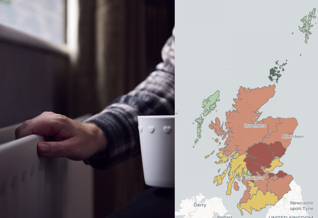
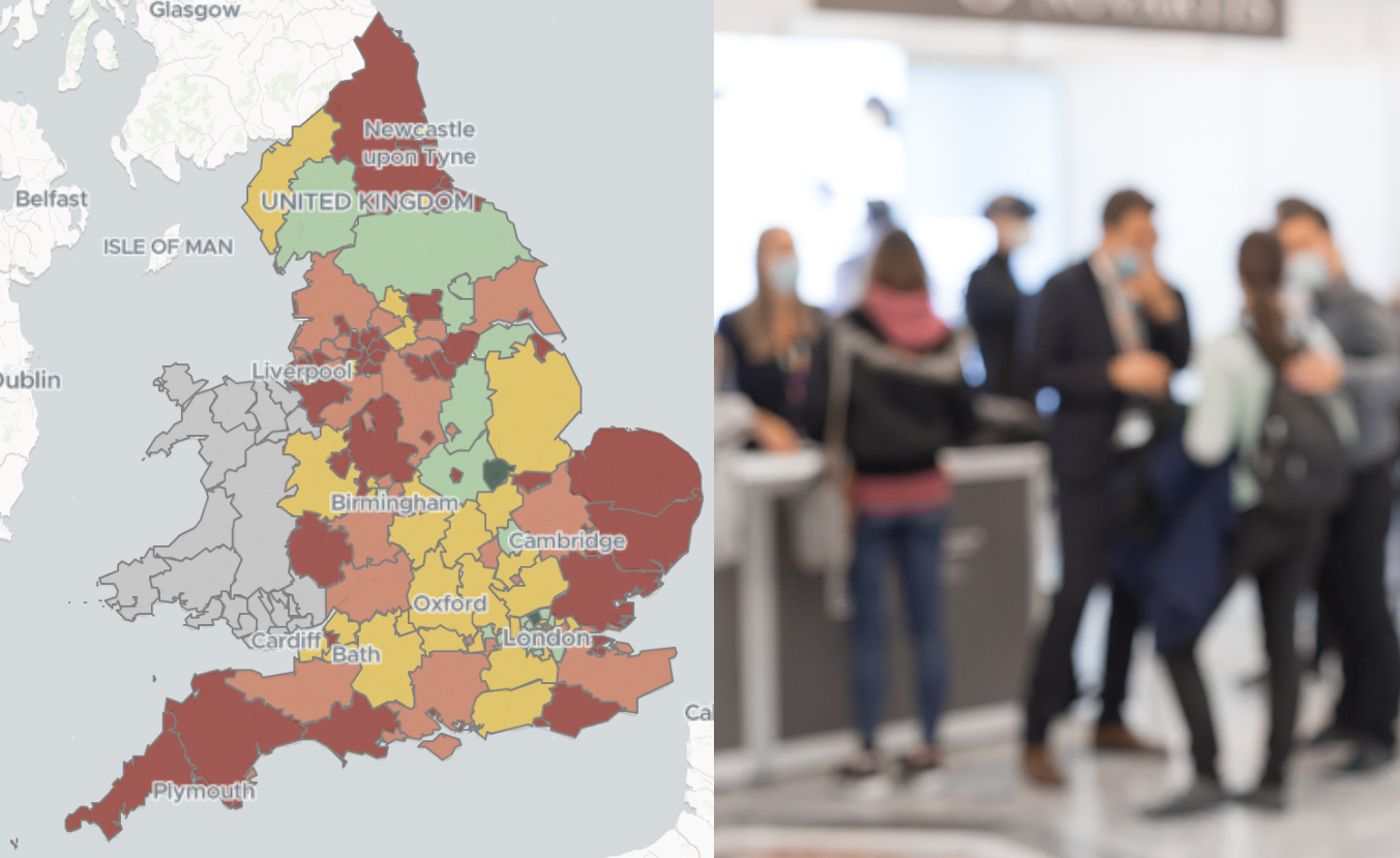
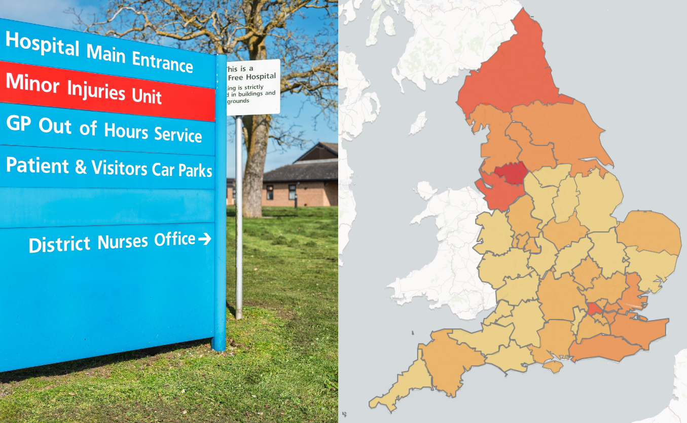
Geo-advocacy is a form of lobbying that involves presenting a case for a policy or issue at a geographical level that will have maximum impact with a stakeholder.
For an MP this means framing your messaging through the lens of their parliamentary constituency.
This guide – Starting out with geo-advocacy – represents the first time we have committed to paper the Polimapper ‘secret sauce’.
It gives you all the tools you need for geo-advocacy, and will empower you to take on a constituency data project. In the guide, we cover:
- What is geo-advocacy, and the psychology of spatial distance
- How data is the key to undertaking any geo-advocacy project at scale
- The four key sources of data for geo-advocacy
- The best sources of public data for geo-advocacy
- The methods you can use to adapt data to fit parliamentary constituencies
The guide is essential reading for anyone working in public affairs.
You can download your copy here.
Watch the video to learn more about geo-advocacy and bridging the ‘so what?’ gap