


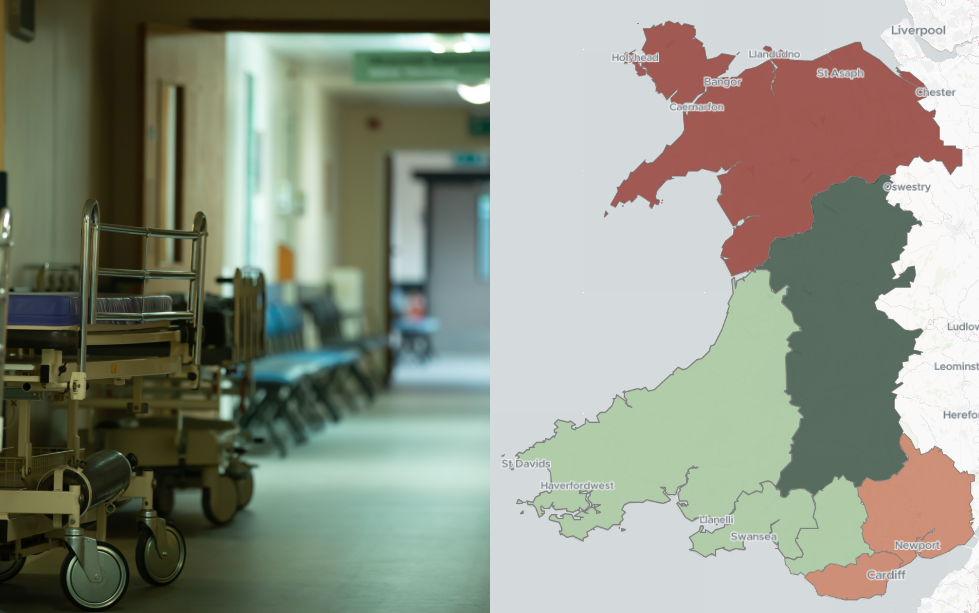


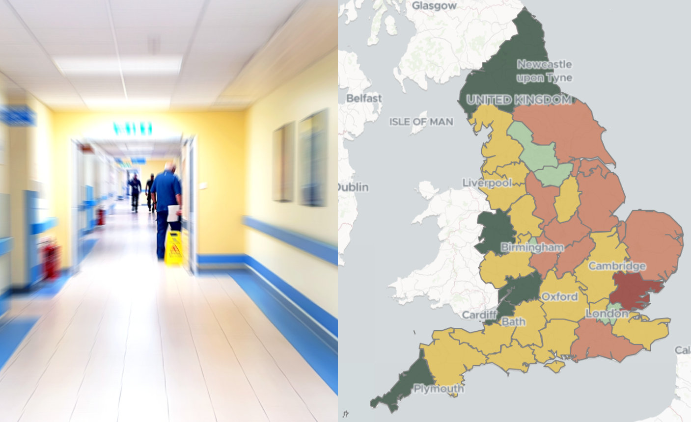
NHS waiting times stabilise despite growing list and £15.9bn infrastructure backlog
NHS waiting times stabilise despite growing patient list and £15.9bn infrastructure maintenance backlog. Yesterday, the government published its 10-Year
MHCLG clarifies transitional planning rules as Worcestershire sets aside £20 million for LGR
The Ministry of Housing, Communities and Local Government (MHCLG) has issued draft guidance on how plan-making must transition during Local

Mapping the intersections of NEET: Deprivation, mental health, and other risk factors
Recently, I had the opportunity to attend the Health Studies User Conference, hosted by the UK Data Service. Diving into

Hampshire launches legal battle over government’s LGR decision
A second county council has launched a legal challenge over the government’s chosen path for Local Government Reorganisation (LGR) in


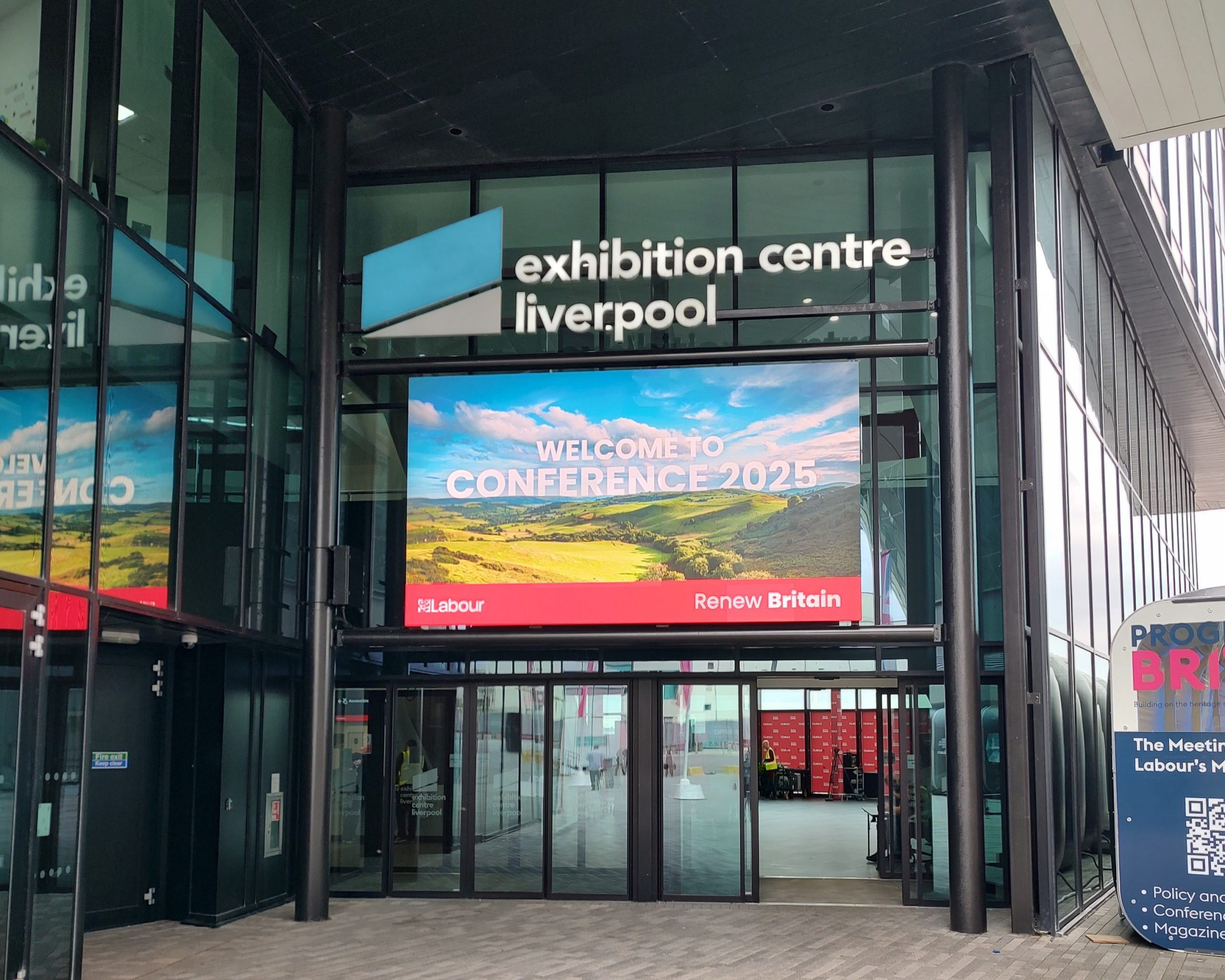
The new reality of party conference season
When I wrote on a similar topic ahead of last year’s autumn conference season, I highlighted how unusually unsettled UK
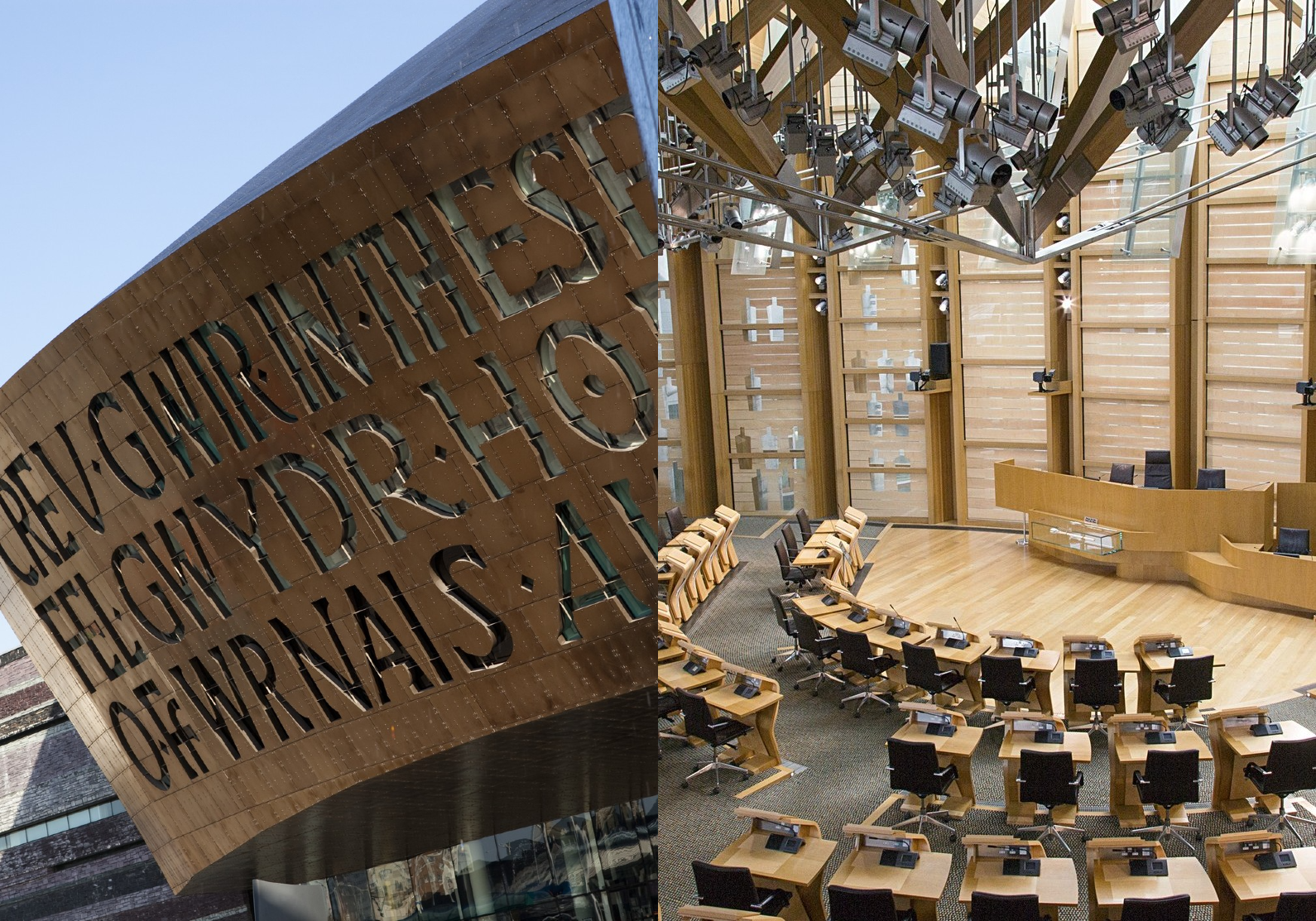
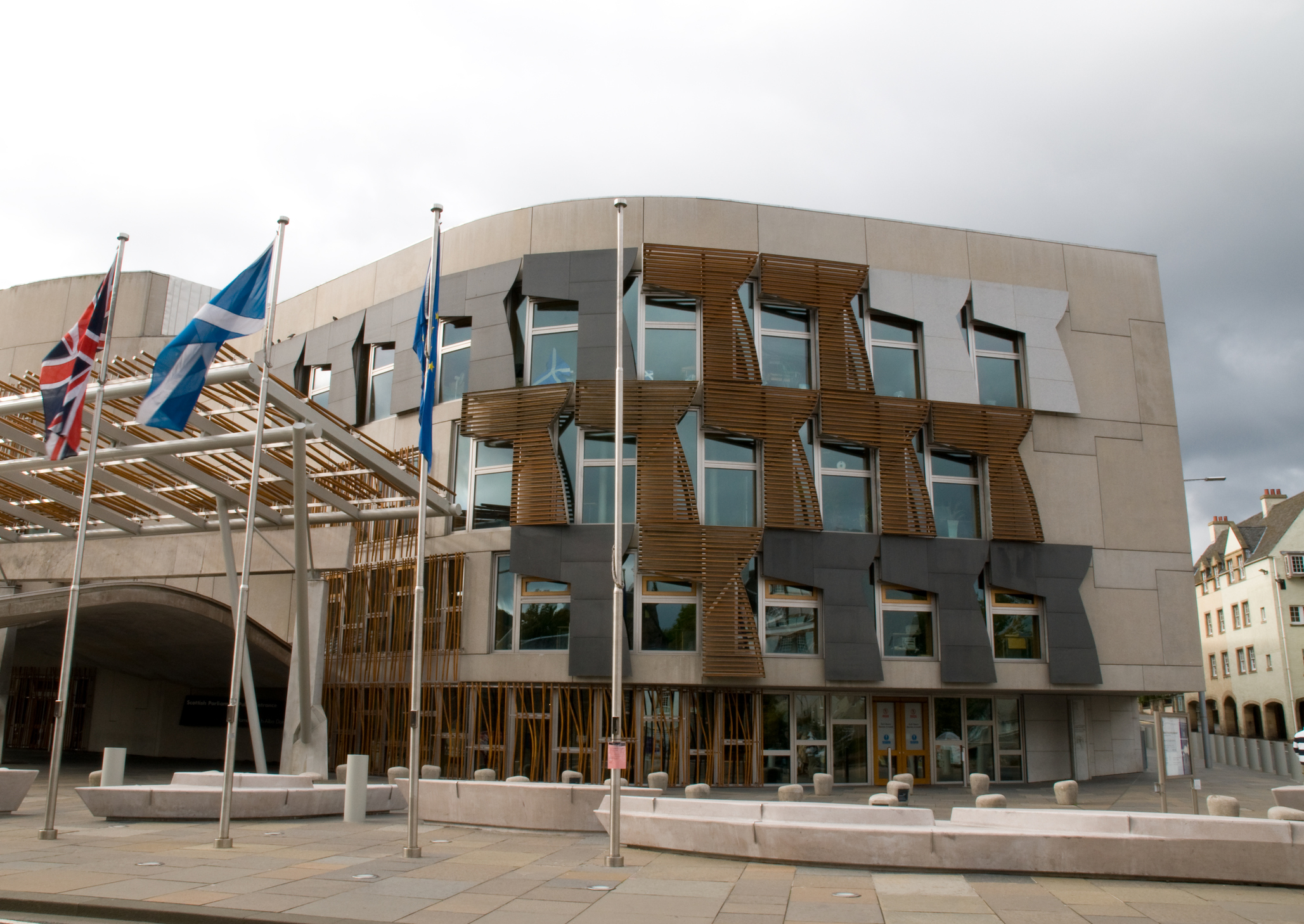
The Class of ’26: The most dramatic overhaul of devolved politics since 1999
May 2026 has delivered the most significant reshaping of devolved politics in a generation. Elections to both the Scottish Parliament

Supporting Young Lives vs Cancer in securing national travel support
The announcement of a new £10 million Travel Fund for children and young people with cancer, marked a major milestone

How Polimapper helped Alcohol Change UK map the reach of ‘Try Dry®’
It’s one thing to know your app is being downloaded; it’s another thing entirely to know which communities are being


